There’s literally whole projects to map out movements of continents and the change of the geoid shape of earth, although it takes a few years for it to matter in most cases
Unless there is volcanic activity, geography can be considered permanent within a lifetime. Given the accuracy this technology claims, I suspect the lifespan is very short lived.
Multiple centimeters per year isn’t nothing but it is enough to force recalibration within your lifetime, multiple times
You don’t use those kinds of sensors non-stop from one calibration. You recalibrate and update maps regularly. Then if you lose some sensors you can still read reckon with high enough precision for weeks


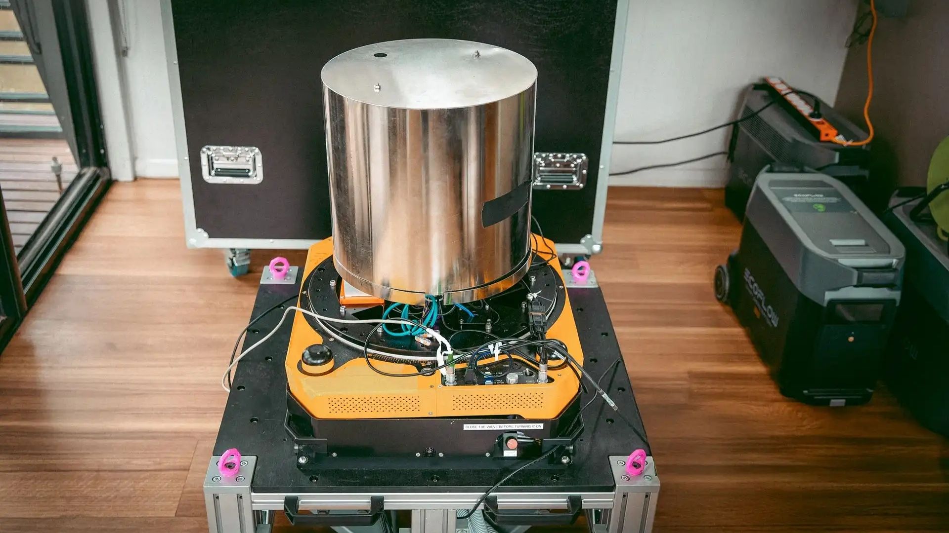
Geography and celestial maps are permanent (mostly).
The next question is, how long until a quantum measured map becomes unrecognised? Is the half life years or hours?
There’s literally whole projects to map out movements of continents and the change of the geoid shape of earth, although it takes a few years for it to matter in most cases
Unless there is volcanic activity, geography can be considered permanent within a lifetime. Given the accuracy this technology claims, I suspect the lifespan is very short lived.
https://www.djublonskopf.com/2014/09/02/how-do-we-know-the-continents-are-moving/
Multiple centimeters per year isn’t nothing but it is enough to force recalibration within your lifetime, multiple times
You don’t use those kinds of sensors non-stop from one calibration. You recalibrate and update maps regularly. Then if you lose some sensors you can still read reckon with high enough precision for weeks
I’m guessing remote sensing will be involved with keeping the maps accurate.